RETURN TO PREVIOUS INDEX
South Mineral Road, Highland Mary Lake, and Stony Pass in September 2024.
In September, 2024, I decided to make a trip on short notice to
southern Colorado before the snows came. I managed to squeeze a week
into the rest of my schedule. On Monday, Sept. 16, I drove from
Socorro to Silverton and over to the South Mineral Campground where I
claimed a site. Curiously, the dispersed camping sites in the area were
crowded, but the formal campground, where you have to pay, was half empty.
That night, it rained hard. I slept, for the first time, in the back of
my Ford Ranger.
Tuesday threatened to rain a lot so I opted for a simple hike starting at
my campsite and going up the South Mineral road to near its end. It was
raining, but I had proper gear and it was ok. A highlight was seeing a
moose near the beaver ponds near the end of the road.
Wednesday promised better weather so I did the hike I had
originally planned for Tuesday. I drove to the trailhead at the end
of Cunningham Gulch west of Silverton and hiked to Highland Mary Lake.
I saw two moose at the lake. That night, I treated myself to a stay
at the Wyman Hotel in downdown Silverton.
Thursday I drove over Stony Pass, the jeep road that goes from
Cunningham Gulch, over Stony Pass, down through the headwaters of the
Rio Grande to Highway 149 between Creede and Lake City. It is a long
route with variable conditions. The most rocky part was on the east
side for about 3 miles below Pole Creek. I managed to come down
hard on a rock in that area and damaged a skid plate. I saw the rock but
unexpectedly dropped suddenly as I got to it. The damage was not an
immediate problem, but I replaced the skid plate (easy) when I got
home. I camped at Thirty Mile Campground just below the Rio Grande
Reservoir. Again people seemed to be avoiding the pay campground. I
was one of only about 4 parties in a nice campground with 35 sites.
I really lucked out. I hadn't been paying much attention to the fall
color schedule, but I hit the area just about at prime. Most of the
aspen had turned but none had dropped their leaves yet.
Friday, I finished the dirt road and headed back to Socorro by way
of Wolf Creek Pass, Pagosa Springs, and Chama. None of those places
had fall colors comparable to the headwaters of the Rio Grande. The
Wolf Creek area seemed badly affected by the bark beetles.
All of the photos were taken with my Sony DSC-RX100M7 camera. Many
were subjected to mild processing in the Gimp.
Click on the image for a screen size version.
The "2000" and "full size" versions are larger (not available in web versions).
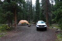
My campsite at South Mineral Campground. I was well isolated from other
campers. The shelter, designed mainly as a sun shade, got a workout in
the rain.
|
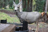
During dinner, this deer showed up and started licking the grill
(which I had not used. I was sitting there in plain sight at the
table under my shelter. She didn't seem concerned.
|
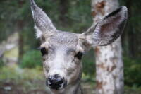
The deer was quite close. This is a full frame shot with a 72 mm (200
mm equivalent for 35 mm format) lens.
|
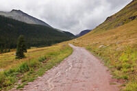
The following morning, I hiked up the road. At first, the road was in
the trees. Then it broke out onto open ground along the valley.
|
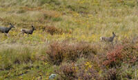
There was a group of a half a dozen or so deer above me. They were
all does. I suspect that the bucks knew better than to be near a road
in hunting season.
|
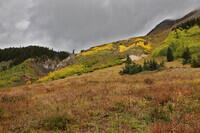
Some fall colors in South Mineral Canyon.
|
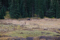
There was a moose on the other side of the valley. He and I kept pace for
quite a while.
|
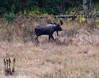
A cropped version of the moose in the last photo.
|
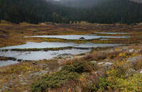
The beaver dams and house near the end of the road. One of the rain
showers can be seen approaching.
|
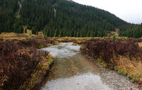
The stream crossing at the upper end of the beaver
area and near the end of the road. The moose was somewhere in the
trees ahead. Since the end of the road was near, the stream looked
tricky to cross with dry feet, there was a bull moose at some unknown
location just ahead, and the rain was threatening to get harder, I
opted to turn around here.
|
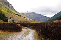
Looking back down the valley from the turnaround spot. The dilapidated
buildings on the hill side are remains of old mining operations. Such
remains are all over the place in the region near Silverton.
|
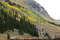
Some fall colors on the hillside above the last photo.
|
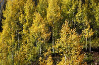
Some aspen along South Mineral Road.
|
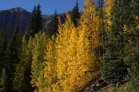
More aspen along South Mineral Road
|
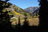
The next day in Cunningham Gulch at the start of the trail to Highland Mary
Lake. Note the much improved weather.
|
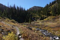
The lower part of the Highland Mary Trail alongside a stream.
|
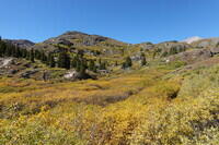
Going past treeline on the Highland Mary Trail.
|
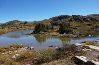
The first of the small lakes along the Highland Mary Trail.
|
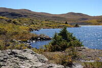
The second small lake shortly before reaching Highland Mary Lake.
|
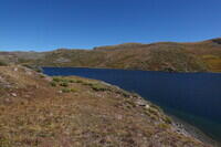
Looking down along Highland Mary Lake. This gives a good idea
what the country in the area is like.
|
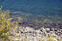
The Highland Mary Lake water is nice and clear.
|
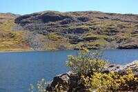
Looking across the lake from my slightly sheltered lunch spot.
|
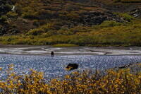
When I left my lunch spot and headed back toward the trail, these
two moose were in the upper end of the Highland Mary Lake. Unfortunately
I didn't get very good pictures. I was in a place without any real cover
so I didn't want to get close.
|
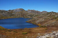
On the way back, this is the middle of the three lakes that include Highland
Mary Lake.
|
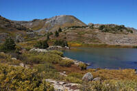
This is the smaller of the three lakes. It is the first you hit on the way
up the Highland Mary Lake trail.
|
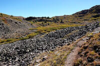
There is a sign near the bottom of the Highland Mary Lake trail saying that
it is impassable to stock, presumably meaning horses. One reason is that
you have to cross this fairly short talus field. It's not too hard for
a human, but a horse might have trouble.
|
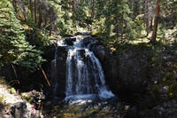
A waterfall along the Highlant Mary Lake Trail.
|
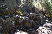
This is another spot that would give horses trouble. The trail goes
from the camera through the notch at the top of the picture slightly
left of center. Shortly before reaching this point on the way down, I
did meet a couple of men with three pack animals. But they were large
goats. I had not seen goats used as pack animals before. They
probably did not have trouble with the trail.
|
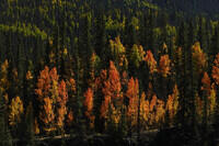
Some more fall colors. Some of the aspen were fairly red.
|

That night I treated myself to a restaurant (Golden Block Brewery)
meal and a hotel (Wyman).
|
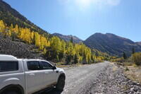
The next day, I drove over Stony Pass into the headwaters of the Rio
Grande. The route starts in Cunningham Gulch where this photo of my
Ford Ranger and fall colors was taken. That is the same Gulch that
contains the Highland Mary Lake trailhead.
|
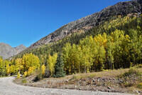
Another photo of the fall colors in Cuningham Gulch.
|
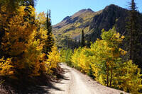
Approaching tree line in fall colors on the Stony Pass Road.
|
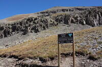
At Stony Pass.
|
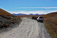
My Ranger and a couple of ATVs that were at the pass at the same time.
The Colorado Trail passes somewhere in the near distance ahead of the
vehicles.
|
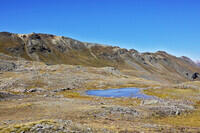
Another view of the country at Stony Pass.
|
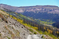
Heading down into the headwaters of the Rio Grande.
|
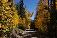
Back among the trees.
|
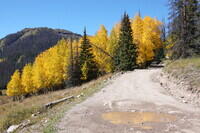
A nice dense clump of aspen in prime fall colors. I'm getting
near the canyon floor.
|
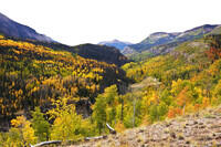
In the valley along the Rio Grande nearly 2 hours drive and lunch time
below the last photo.
|
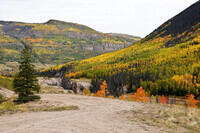
More fall colors along the Rio Grande.
|
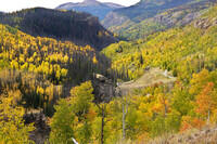
More aspen in fall along the Rio Grande.
|
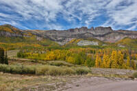
Down lower in the valley, there are still quite a few aspen that are
still green mixed with those that have turned.
|
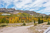
This photo show the area just to the right of the last photo.
|
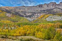
A telephoto of the central region of the photo before last.
|
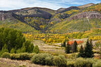
More colors from the same place as the previous photos.
|
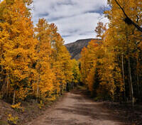
Aspen along the road. This bunch is a bit redish.
|
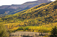
More aspen on a hillside.
|
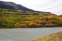
Some aspen on the other side of the Rio Grande Reservoir.
|
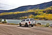
My Ranger, the Rio Grande Reservoir and a hillside of aspen.
|
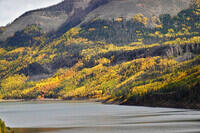
The Rio Grande Reservoir with aspen on the far hillside.
|
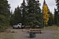
I camped at the Thirty Mile Campground just below the bottom of
the Rio Grande Reservoir. This was one of 2 sizeable full campgrounds
(with fee) that I spotted. There are 35 sites. Only 4 were occupied.
Lots of people were in the free, dispersed campsites, but not in
the main campgrounds.
|
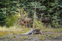
There were a lot of deer in the campground.
|
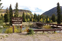
The entry to the campground, which is on the other side of the Rio Grande
from the road.
|
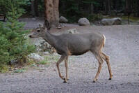
Another deer.
|
Trees at sunset from the campground.
|
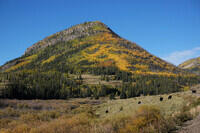
Some fall colors near the end of the dirt road. For the rest of the trip,
nothing matched what I saw in the upper Rio Grande valley.
|
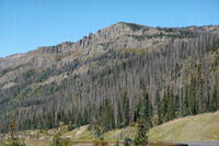
This was the hillside across the road from the Wolf Creek Ski area. There
were no fall colors and the pines had been devastated, presumably by the
bark beetles.
|
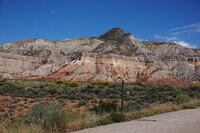
Returning to the red-rock country of new Mexico. This is at the turnoff
from Highway 84 to the Chama River and monastery, close to the Echo
Amphitheater (which is currently closed for construction).
|
RETURN TO PREVIOUS INDEX


