RETURN TO PREVIOUS INDEX
 
 
Rogue River 2025

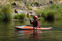
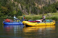
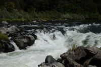
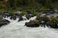
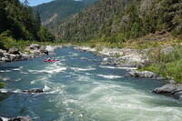
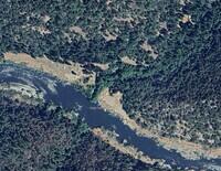
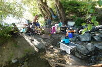
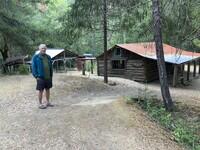
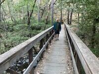
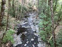
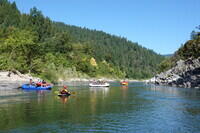
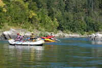
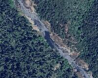
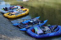
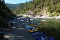
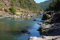
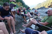
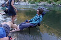
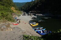
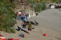
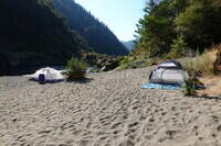
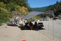
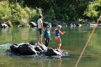
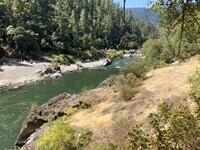
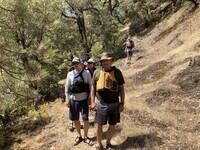
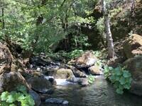
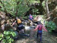
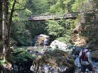
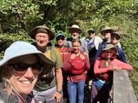
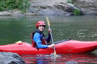
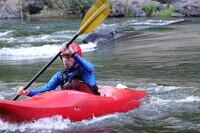
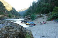
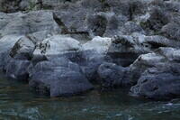
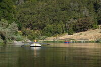
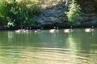
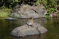
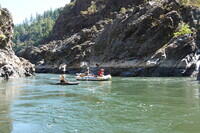
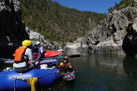
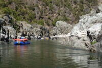
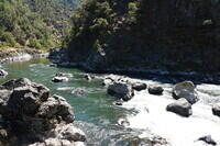
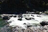
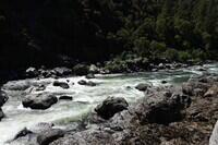
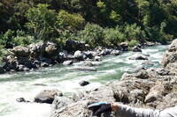
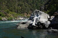
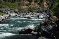
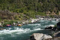
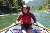
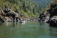
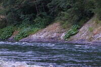
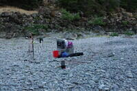
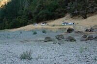
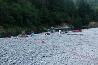
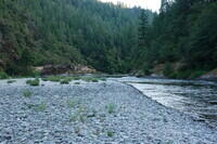
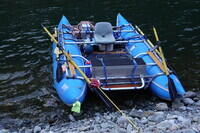
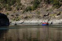
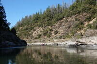
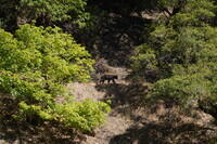
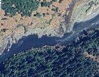
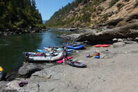
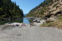
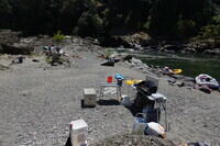
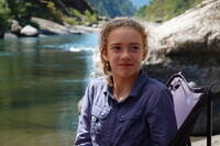
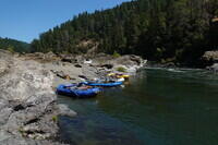
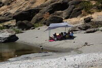
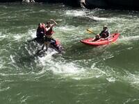
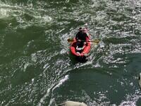
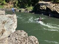
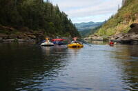
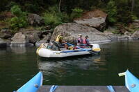
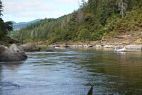
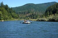
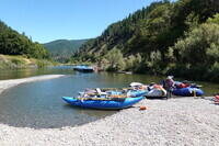
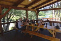
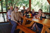
In 2025, I won the lottery for the Rogue River in Oregon. We assembled our core crew of the Luttrells, Boxes, and McCullochs from Nanaimo plus myself from New Mexico, 10 in total, for a 6 day trip from Aug 9 to Aug 14. These are my photos from the trip.

I used both my Sony RX100M7 and my iPhone SE3. The photos should be in time order.

I have not yet added any of my videos. That may have to wait until after my next trip. None were especially interesting. I might also get some photos and/or videos from others on the trip.
 

Click on the image for a screen size version.
The "2000" and "full size" versions are larger (not available in web versions).

Along US 60 west of Socorro on the drive up. This is the only photo I have from before launch. I don't even have any from our launch campground at Almeda.

Satellite view of Almeda Campground were we gathered on Aug 8 and where we put in. This, and the other campsite views are based on the link sent with my InReach email messages sent to Joan and myself. The link is to explore.garmin.com.

Norah in her kayak with a vulture on shore. The vulture was watching an osprey that had a fish.

Joe consulting the guide with Mike and Elaine watching.

Rainie Falls main drop. We watched a boat try to run it and get violently flipped. Here other boats are setting up to run the fish ladder, which was the route we used.

The Rainie Falls mid chute. A commercial party used this path while we were in the fish ladder.

Looking downstream from Rainie Falls.

The InReach linked satellite view of our campsite at Whiskey Creek, where we stayed on Aug 9.

Camping literally in the middle of a stream - Whiskey Creek. The stream and the trees helped keep us cool. A bit higher above the river were very large camps both up and downstream from the Creek.

The large camp just downstream of Whiskey Creek.

Kerry at the cabin a short distance up Whiskey Creek.

Kerry on the bridge for the Rogue River Trail over Whiskey Creek.

Whiskey Creek from the bridge.

Our flotilla heading down the Rogue. We had 9 boats, 4 rafts, 3 kayaks, 1 IK, and one SUP (almost not used). The only smaller boat in the water here is Gill's kayak.

Kerry and Sharon in the white boat. The Joe and Norah (rowing) in the yellow boat.

The satellite view of Lower Kelsey Camp, where we stayed for the nights of Aug 10 and 11.

The 4 rafts at Lower Kelsey Camp. This was our layover camp.

Looking downstream over Lower Kelsey Camp. Three tents were at about the level where this photo was taken and were behind me here.

Looking upstream from near my tent site at Lower Kelsey Camp.

The instructions to get to the groover were to go up hill and turn right at the poison oak. I wasn't 100% sure of the ID, but, while it offers some other options, my plant identifier app (LeafSnap) gives, as its first choice, that this is Pacific Poison Oak. I have a second photo and it gives the same result.

Hanging around river's edge to keep cool, even though the Sun is no longer on us.

Gill.

Sharon.

Joe.

Elaine.

The boats and kitchen the next morning.

The kitchen of our layover camp at Lower Kelsey.

The upper camp area of Lower Kelsey with three tents. One is hidden in the trees. Mine is the one with the barrel.

The kitchen with the river wing deployed for shade.

This bug, from a net search, appears to be a corn rootworm and is considered a significant pest.

Adam, Elaine, and Phoebe playing on a rock in the river at camp.

This is also identified as Pacific poison oak by LeafSnap, with poison ivy as the second choice. The leaves are less shiny than the other plant at camp.

Yet another of the same plant as the last photo, also identified as Pacific poison oak as first choice by LeafSnap. There was a third photo with the same identification.

We crossed the river by swimming and hiked upstream on the Rogue River Trail to Kelsey Creek. This is looking back on camp.

Walking on the Rogue River Trail. We have our life jackets because we plan to swim back to camp.

Kelsey Creek. Rather pleasant on a hot day.

Working our way upstream in Kelsey Creek.

At the Rogue River Trail bridge over Kelsey Creek.

The hikers at the Rogue River Trail. This is our whole party except Sharon, who held the fort at camp.

Looking down on Kelsey Creek from the Rogue River Trail bridge.

Adam playing in his kayak.

Another of Adam in his kayak.

Evening at camp with Adam playing in kayak and Sharon sleeping.

Some details of the shoreline rocks.

Moving on the next day, Kerry and Sharon left and the McCullochs right on the river. Moving on the next day, Kerry and Sharon on the river.

Some geese.

A rather large turtle. I'm not sure if this is a native species or an invasive snapping turtle.

Entering Mule Creek Canyon, I think. Kerry, Sharon, and Norah on the raft. Gill kayaking.

Getting into Mule Creek Canyon.

More in Mule Creek Canyon.

Blossom Bar rapid, the crux of the trip. The line is to enter on the far side, then cut tight around the big hollowed out rock.

Here the crux move can be seen. You need to get in the tongue downstream of the hollowed out rock. If you stay left instead, you hit the "Picket Fence" and there is no way through for rafts.

Once past the crux, there is still a lot of back and forth rock dodging to do.

More of a telephoto of the bottom of Blossom Bar.

This is taken from where I finally eddied out below the rapid. I had a clean run. I don't remember touching anything.

I exited the boat and moved to a better view point. This is looking up through Blossom Bar. The McCulloch boat is waiting in an eddy much higher up the rapid. There are a couple of spectators on the rocks to the left. I have some not-very-interesting videos taken from here.

The Box and McCulloch boats at the bottom of the rapid, waiting for the Luttrells who are already through the hard stuff.

Norah rowing my boat.

More canyon after Blossom Bar.

The satellite view of our campsite Aug 12 at Upper Solitude Camp.

Three deer, doe and two fawns, along the side of the river from our next camp.

We camped at Upper Solitude Camp. We had seen bear so we set up my electric bear fence for the first time on the trip. We also used it the following night.

The tent sites above the gravel bar at Upper Solitude Camp.

The kitchen at Upper Solitude Camp.

Looking upstream from the camp.

My 2006 vintage AIRE Jaguarundi Cataraft - the same boat I had in the Grand Canyon in 2008.

Heading down river a short distance the next day. We needed to add a few miles to make the takeout day reasonable.

A wider view of the river.

Confirmation that the bear fence was a good idea. Between us I think we saw 4 bears, although most of us failed to see all of them. They all seemed rather small, like juveniles.

The satellite view of our final campsite, Aug 13, at Clay Hill Camp.

Clay Hill Camp. There were two beaches - the river wing can just be seen on the one downstream from the one with the boats.

This shows the downstream beach.

The kitchen and boat area at Clay Hill Camp.

Pheobe

Another shot of the boat area, looking upstream.

Hiding from the sun under the River Wing.

Playing in the river. They are jumping into the swirl line where they can be dragged down fairly deep. Joe is safety backup on the IK.

Rescue in progress.

An overview of the play area.

A snake seen around the boats. I think it is a gopher snake, but I'm not sure.

The snake heading for the river.

Norah by the bear fence.

Two deer near camp.

Headed out on our last day.

Kerry, Sharon, and Norah

Along the river on the last day.

Kerry and Sharon.

At the takeout at Cougar Lane at Agness. This is in the running for the nicest takeout I've used. There is no current, the cars can pull right up to the shore, it was not crowded, and there is a nice restaurant right there.

At the restaurant at Cougar Lane overlooking the river and takeout.

The Luttrells, Boxes, and me at the Cougar Lane restaurant. The McCullochs had already headed home.


RETURN TO PREVIOUS INDEX


On the coast.

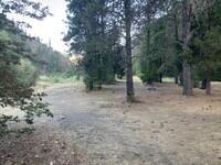
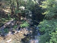
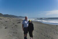
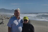
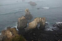
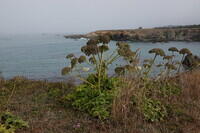
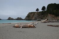
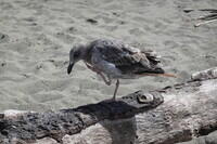
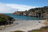
After the river trip, Kerry, Sharon and I stayed one night in Gold Beach. Then 
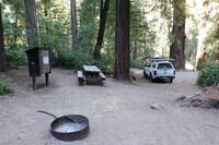
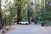
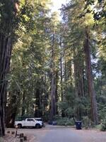
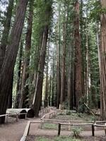
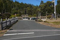
I drove down to Richardson Grove State Park in the Redwoods in California, 
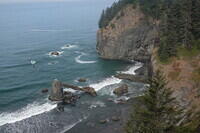
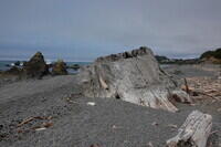
where I camped for the night (I had a reservation). The next day, I drove down 101 
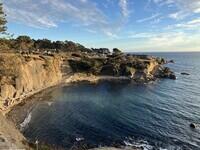
and coast highway 1 to Ocean Cove Lodge where I also had a reservation. Finally I went inland from Bodega Bay and drove home with one night in Barstow. This is a small selection of the many photos from that drive.
 

Click on the image for a screen size version.
The "2000" and "full size" versions are larger (not available in web versions).

The Luttrells at Gold Beach.

Another of the Luttrells.

A very large stump. It looks like it was from a tree that was logged.

My campsite among the redwoods at Richardson Grove State Park.

The campground as seen from my site.

Another view of the campground near my site.

Some trails among the trees near the river in the State Park.

Wind swept trees at Jug Handle State Natural Reserve.

Also at Jug Handle State Natural Reserve.

Navarro Beach.

A gull scratching his chin.

Stump Beach.

Ocean Cove Lodge, where I spent the night.

I don't always eat crude food while traveling. This is at the Ocean Cover Lodge restaurant.

The sea in front of the lodge. There is a large, private campground on the bluff.

There was a low fog over the sea in the morning. Often the road was above it.

Across the street from my hotel in Barstow was the largest EV charging station I have ever seen. It is a Tesla facility with 120 plugs! And following the standard charging station style, there is no restroom.

The sky got interesting as I got near the VLA, about an hour from home.

My last shot, at about the same time as the last previous one.


RETURN TO PREVIOUS INDEX