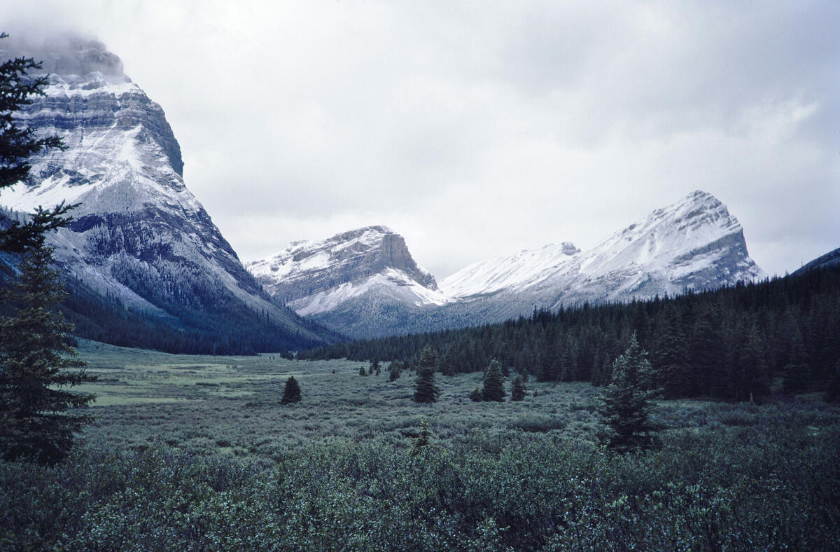
Looking along Bryant Creek in the general direction of Assiniboine Pass. This
is presumably on the way to Mt. Assiniboine by way of that pass.
Location confirmed with Google Earth. Mt. Cautley is to the left.
Digitized from film. Digitization information:
Date: 2026:01:24 20:54:14
File: wRCW57529G.jpg
Camera: PENTAX K-5 -- Lens: smc PENTAX-D FA Macro 100mm F2.8 WR at 100.0 mm -- Exposure: 1/20 f/6.3 ISO 100