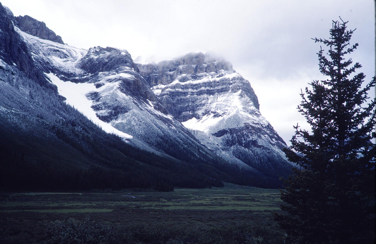
Mt. Cautley above Bryant Creek as seen from the Assiniboine Pass
Trail. There is a Google Earth match. This is likely from the hike
to the base of Assiniboine shown in the following pictures. This was
probably an overnight hike based on Hal's memory and a slide, not in
this edited show, that shows a backpacking camp.
Digitized from film. Digitization information:
Date: 2026:01:24 20:57:35
File: wRCW57532G.jpg
Camera: PENTAX K-5 -- Lens: smc PENTAX-D FA Macro 100mm F2.8 WR at 100.0 mm -- Exposure: 1/10 f/6.3 ISO 100